Orléans
Orléans Historic Malls
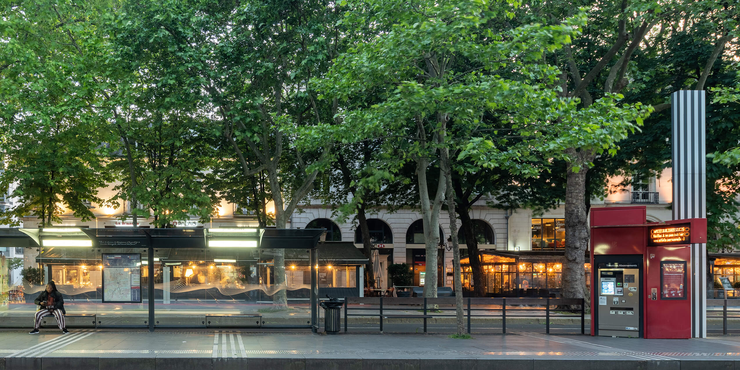
The project renews with the art of the promenade along the Loire to link with the Orléans institutional precinct and develops sustainable soft low-carbon public transport. Part of the Orléans heritage, this new urban focus weaves a link between the city centre and its inner suburbs.
From ramparts to malls
From the 4th to 16th century, the city developed behind the ramparts.
Fortifications were gradually abandoned and demolished to make way for urban development. The axes formerly occupied by the ramparts were transformed into boulevards which extended the old town towards its new suburbs, breathing spaces and calm transition expressed by the development of malls and vast planted promenades.
Second half of the 20th century, the arrival of the car changed the face of the mall. The development of road infrastructure was essential to give freedom to private car traffic, driven by the efficiency of fossil fuels. Within half a century, landscape characteristics, leisure activities and public rail services were abandoned to benefit the efficiency of carbon traffic, more intense and faster. This increased accessibility resulted in the fragmentation of malls, the reduction of their footprint, their transformation into car parks which led to the banalisation and loss of landscape coherence.
As in many cities, efforts to improve traffic flow have reached their limit and they only partially eliminate the problem of inner-city congestion. Moreover, private means of transport generate pollution and the isolate local residents. In turn, car parks massively invade private and public space.
Vincent Cottet – URBAN DESIGNER, LANDSCAPE ARCHITECT « Project to develop historic malls transforms Orléans into a peaceful city linking a succession of calm districts for cultural and leisure events. »
Malls d’Orléans, an assembly place within the city
With a deep respect for the site and its original layout, the Richez Associés proposal links the historic city to districts with lively cultural, education and event facilities with both local and regional impact. Formerly peripheral, regeneration of the malls develops a new linear centrality.
Demolition of road infrastructure (bridges, underpasses…), the malls find a landscaped identity which retains existing trees reinforced with new plantations adapted to future climate change.
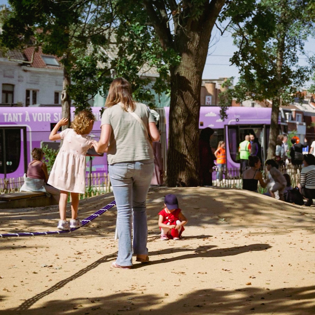
With this transformation, Orléans redevelops its means of transport, housing, work and urban life. The urban project will provide residents with a calmer, more fluid city where traffic is decarbonised, respects the environment. A city which develops opportunities for sharing, whether planned or spontaneous, between residents, irrespective of age. A city where extensive planting engenders a pleasant living environment and anticipates future climate challenges.
A promenade in six sequences: Securing malls within the city
Extending from the Loire river, the Promenade des Mails is composed of six urban and landscape sequences:
1 | Mail des Terrasses - from the Pont Joffre to Parvis de l’Université, grand landscape through a succession of terraces, sloping spaces
2 | Mail Intense - deploys large open lawns and sports areas on both sides of Place Madeleine between the university, ice rink and Place Saint Jean
3 | Mail Culturel - extends the historic Rocheplatte du Frac Square to Avenue de Paris, develops landscaped gardens with high ecological and arboreal planting
4 | Mail Interconnecté - attaches train station and Place d’Arc Shopping Centre to a vast square open onto the city centre
5 | Mails Evénementiels - accommodates festive esplanades and gardens in series along the major historic alignments from Rue Albert 1er to Place Charles Péguy,
6 | Mail Belvédère - extends from Place Charles Péguy to Pont Thinat an aerial promenade with panoramic views of the city and Loire River.
Place d’Arc at the centre of mall regeneration
Opposite Orléans Station, the traffic flow capacity at Place d’Arc is central to the project.
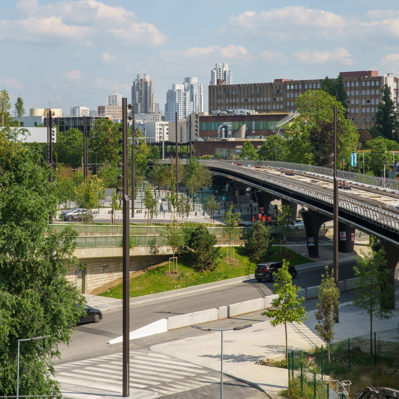
Today, the Place is fragmented by the pedestrian access slab to the station shopping centre, spanning the roads and tramway, as well as the traffic underpasses.
L’un des enjeux principaux du projet est de déconstruire cette dalle pour retrouver le sol naturel et le planter largement, affirmer et apaiser les continuités piétonnes d’une rive à l’autre, installer le tramway dans une géométrie plus propice au développement d’un pôle d’échange d’envergure métropolitain, notamment par la conception d’un quai jardin qui accueillera la gare de bus.
One of the main project challenges was to demolish this concrete slab to extensively plant the natural ground, affirm and calm pedestrian access from one bank to the other, install the tramway in a configuration more conducive to the development of an urban-scale transit hub, notably through the design of a garden to accommodate the bus station.
Landscape development between Université and Pont Joffre
Currently occupied by expressways, Boulevard Jean-Jaurès and Pont Joffre will be redeveloped to accommodate different means of transport. Traffic circulation will be reconfigured, directed towards the facades to free the centre of the malls. Expressways will be replaced by an underground 400-space car park. Underground, this development will provide a landscaped and pedestrian space at ground level in continuity with the malls to the Loire riverbanks.
Between the Place de l'Université and the Loire banks, the Richez_Associés proposal stages the promenade arrival and opens towards the panoramic landscapes of the Loire through a landscape of meadows sequenced in terraces. This rural approach makes the mall resonate with the wild Loire landscape.
Status
Lauréat offre janvier 2023 - Etudes en cours
Location
Orléans (45)
Client
Orléans Métropole
Programme
Aménagement d'une promenade urbaine, construction d'un parking sous-terrain
Area
18 ha
Cost
44 M€
Design team
Richez_Associés + Péna Paysages + Artelia + Transitec + Indiggo + Phytoconseil + Capacité + Géolia + Integral Design + Atelier Jéol